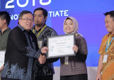
Best Paper: Analysis of ports in South East Asia with Global Marine Vessel Automatic Identification System Big Data
October 30, 2018
Maritime transport is deemed as a source of life for world’s economy. Starting from 1990 to 2013, world’s maritime trade increased more than twofold with the total trade volume reaching 9.6 billion tons in 2013 (UNCTAD 2014). While the development of land and air transportation networks is limited, the maritime transport has seen a rapid growth.
Currently, more than 80 percent of international trade in goods is conducted through maritime transport (UNCTAD 2010). South East Asia countries understand that maritime transport is crucial for logistics and service. Maritime transport is a catalyst for economic development and international competitiveness. (ASEAN 1999). Economic integration between South East Asia countries, which focused on the development of transportation to build good relationship, has bound the countries to pay a great attention on maritime transport.
Indonesia has unique chances and challenges in maritime transport because the country is an archipelago. In line with ASEAN’s focus to develop the maritime transport, the Indonesian government has prioritized on developing maritime connection under the national and local economic development strategy, namely the sea toll road program.
Sea toll road is a concept of sea logistics which connect ports in the archipelago. The program is believed to balance the economic development and solve the inequality problems between the western and eastern parts of Indonesia.
Hafida Fahmiasari, an economist focusing on ports from Royal HaskoningDHV, researched about the use of Global Marine Vessel Automatic Identification System big data to assess the connectivity of ports in South East Asia countries. Automatic Identification System (AIS) is a system used to avoid ships from colliding with each other.Two methods were used in the research, namely the network efficiency model and betweenness centrality.
By analyzing both methods, it is known that sea toll road simulation can ease Indonesia’s dependence on Singapore by 8 percent because ships from other South East Asia’s countries can directly head to Bitung Port, North Sulawesi, Sorong and West Papua, for transshipment to the eastern part of Indonesia.
Sea toll road can also reduce Indonesia’s trade dependence on Tanjung Priok Port by 24 percent. Therefore, the government shall develop industry in the eastern part of the country, so that cargo ships returned from the west can have sufficient economies of scale.
Singapore still the first in South East Asia
AIS analysis describes port connectivity and distribution of maritime trips. Singapore – Malaysia route has the highest maritime traffic in South East Asia. Ports in both countries serve more than 900 trips per month. Meanwhile, Indonesia – Singapore route sits on the second place with 215 trips per month, followed by Hong Kong – China with 190 trips per month.
The analysis also shows the lack of connectivity between the eastern Indonesia and the East Asia countries. Almost all ships from eastern Indonesia heading to Hong Kong, Kaohsiung in China and Tokyo, Japan, shall pass Singapore’s ports.
A total of 67 percent of ships passing Singapore’s ports are used for international trade. It shows that Singapore dominates the transport logistics in East Asia and South East Asia maritime routes.
Sea toll road breakthrough
One of the objectives of Hafida Fahmiasari’s research is to evaluate the impact of the planned sea toll road to the network connectivity. Sea toll road aims to connect the western and eastern parts of Indonesia through hub-feeder networks. There are two possible scenarios where Bitung and Sorong Ports become international hubs in eastern Indonesia. Ships heading to East Asia do not have to pass Singapore first.
In the first scenario, Bitung is a hub port, while in the second scenario, Sorong is used as an alternative. Both scenarios assume that there will be at least one ship per week passing each port on the sea toll road route. The result is the sea toll road can ease Indonesia’s dependence on Singapore by 8 percent and on Tanjung Priok by 24 percent.
Sea toll road does not only increase the centrality distribution to the east, but also increases the centrality in the west, such as in Belawan and Batam ports by 12 percent. The analysis shows the existing networks and the second scenario have the efficiency of 2.5 trips per day. However, the first scenario results in the efficiency of 3 trips per day. Therefore, the first scenario can increase the efficiency by 20 percent compared to the existing networks or the second scenario.
In conclusion, Bitung port strengthens the sea toll road program planned by the government. It emphasizes the relevance of sea toll road on the wider economic development agenda in Indonesia. The development of sea toll road shall also be followed with the improvement of industry in each hinterland in the main ports.
Indonesia’s Research Institutions Supporting the Development of the Electric Vehicle Industry
Indonesian Muslim Fashion and Cosmetics IKMs Shine at Dubai World Expo 2020
Govt Steps Up UMKM Transformation Efforts in the Midst of Pandemic Slowdown
Govt Encourages Promotion of IKM Products in Digital Era
Government Begins Developing Maritime Training Center in Makassar
Tweets by IDDevForum
